To the tower on Polaczkówka from Rabka Zaryte
Nearby: Nowy Targ| Distance | 1.7km |
|---|---|
| Time | 46min |
| Ascents | 143m |
| Descents | 19m |
beach_access Route in the shade
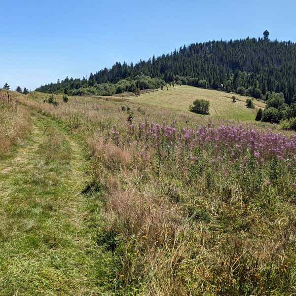
The blue trail from Rabka Zaryte to Polaczkówka is the shortest marked route to the lookout tower on this peak. The path mainly goes through the forest, in the shade, on a narrow but easy trail, without major terrain difficulties along the way.

Start of the blue trail to Polaczkówka in Rabka Zaryte
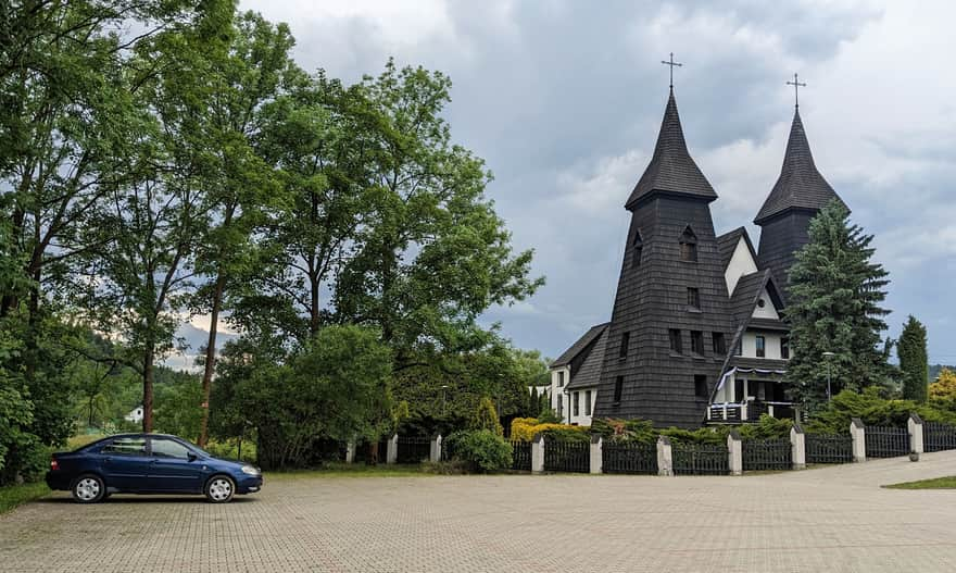
Starting the hike from Rabka Zaryte, you can leave your car in a large, free parking lot near the distinctive church with two towers:
...and maybe soon, you will be able to get here by train! Work on modernizing the railway line and building a station right at the trail intersection in Rabka Zaryte is ongoing!
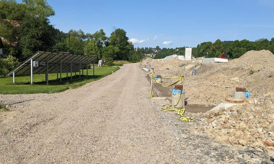
From the parking lot, head west through the church grounds, along the access road next to the railway construction site.
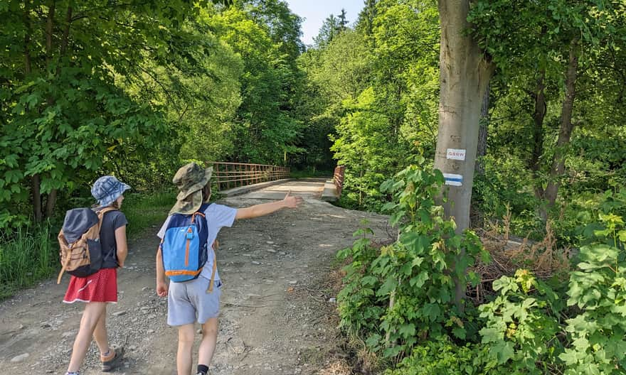
Cross the bridge over the Raba River, which marks the boundary between the Beskid Wyspowy mountains behind you and the Gorce mountains ahead.
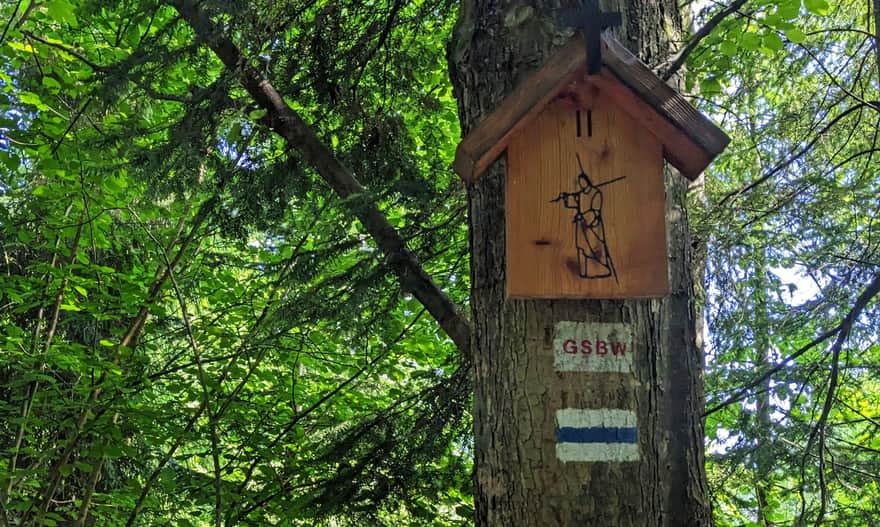
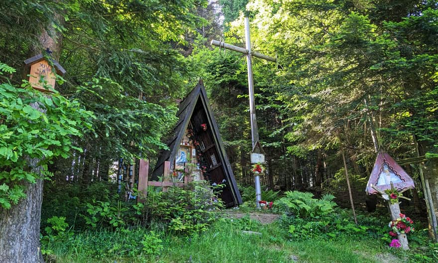
Stations of the Cross from Rabka Zaryte to Polaczkówka
Wooden Stations of the Cross accompany you on your hike. Station I is by the bridge over the Raba River, Station XIII is near the tower, and the last one - Station XIV - is at the Chapel of the Weeping Virgin Mary.
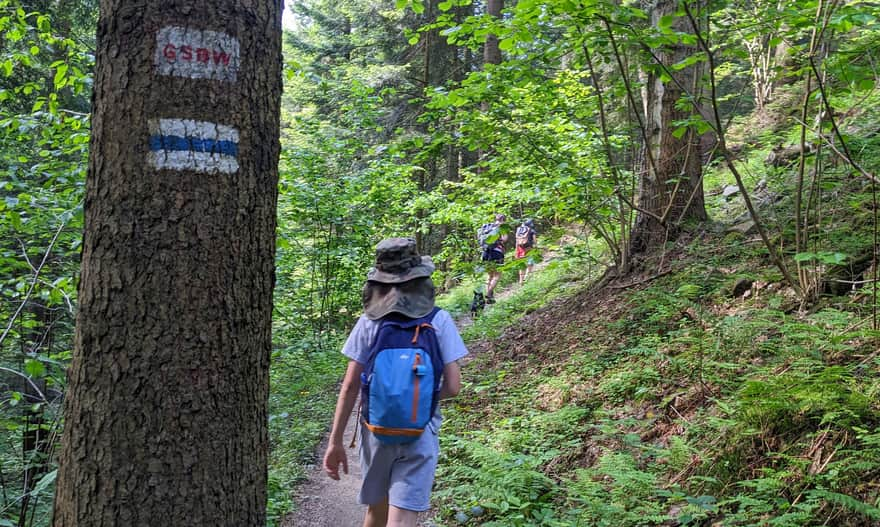
Note! The section of the trail between the bridge, the last buildings, and the forest entrance is a bit less marked - keep an eye on the signs and check the map!
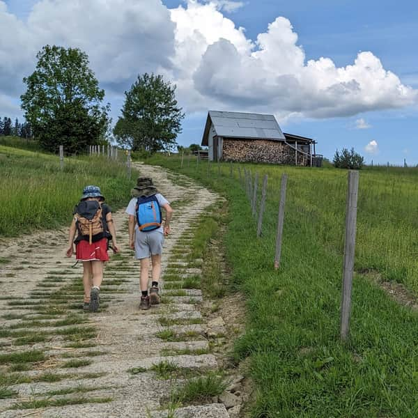
The forest path is narrow but easy and pleasant. You will be ascending the whole time, but without any steep climbs.
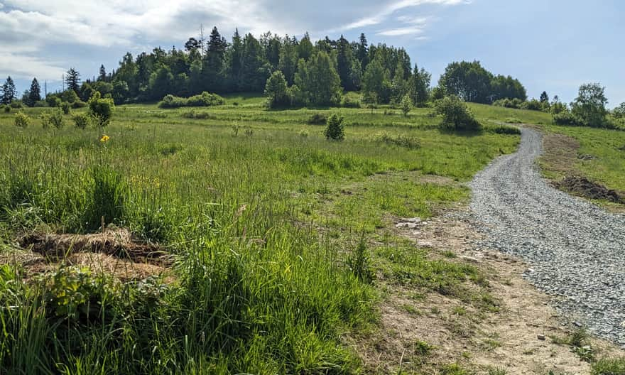
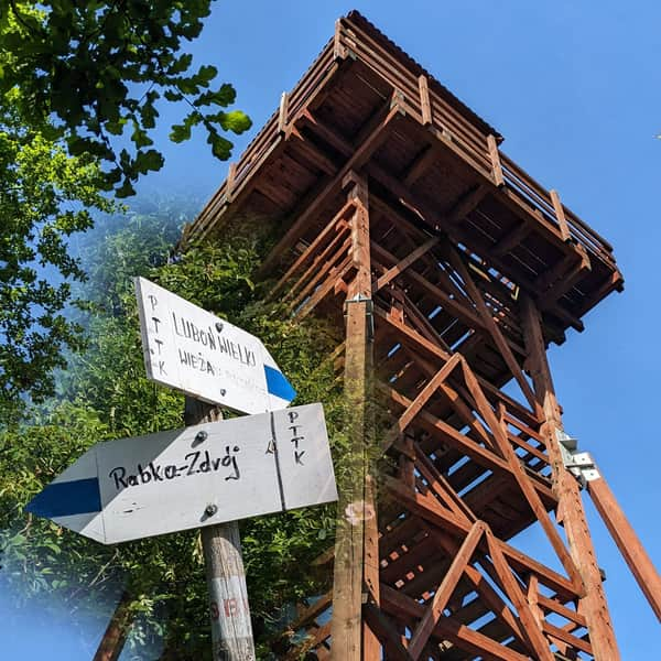
After about 1.5 km (about half an hour) from entering the trail in Rabka Zaryte, you will reach a large clearing with this signpost:
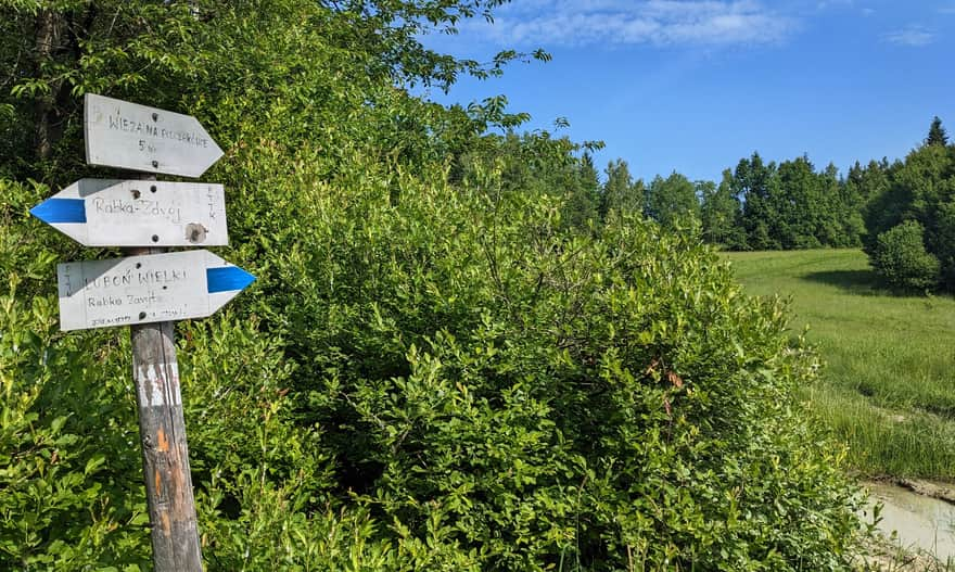
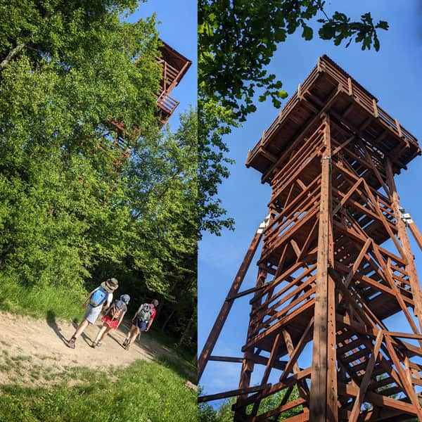
Here, you need to turn left off the blue trail to reach the hidden peak of Polaczkówka and its lookout tower after about 200 meters. Note: the tower is not visible from the path, so pay attention not to miss the signpost!
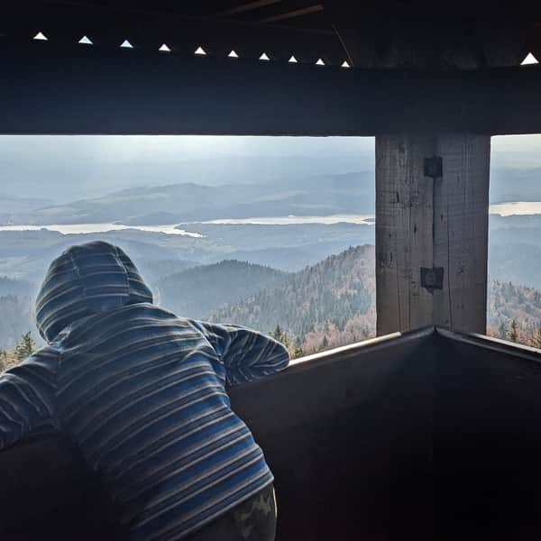
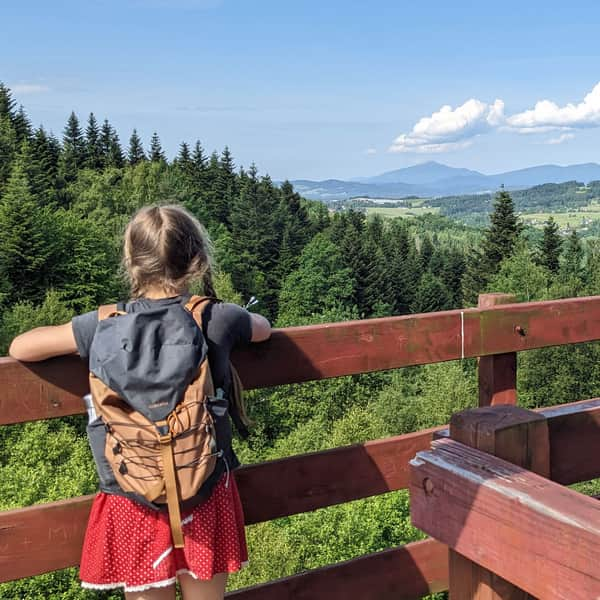
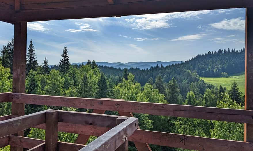
Polaczkówka - peak and lookout tower
Learn more about the tower, the views, and what else you should know about the peak of Polaczkówka here:
Observation Tower on Polczakówka
The observation tower on Polczakówka, near Królewska Góra, is an easily accessible viewpoint located right next to the blue trail connecting Rabka-Zdrój and Rabka Zaryte. How to get to the tower and what can we see from the viewing platform? ...
Lookout tower on Polaczkówka and what's next?
You can return to Rabka Zaryte the same way in about 25 minutes. We also recommend going a bit further to the nearby (1 km from the tower) Grzebień viewpoint, from where you can descend to Rabka Zaryte via the black trail. This way, you will return to the trail entrance in about 1 hour.
The entire loop Rabka Zaryte > blue trail > Polaczkówka > Grzebień > black trail > Rabka Zaryte is 5.5 km with 250 meters of elevation gain, which can be completed in less than 2 hours.
Loop: Rabka Zaryte - tower on Polaczkówka - Rabka-Zdrój - Rabka Słone - Grzebień - Rabka Zaryte
If you feel like a longer hike, you can continue from the tower down the blue trail to Rabka-Zdrój:
Easy
From Rabka-Zdrój to the Lookout Tower on Polczakówka

...and return to Rabka Zaryte via the black trail through the Grzebień viewpoint:
Medium
Black Trail Rabka-Zdrój - Rabka Zaryte through Grzebień

This loop is a total of almost 9 km with 300 meters of elevation gain, which can be completed in less than 3 hours (not counting breaks):

More in the Region Gorce (Gorce)