Czarny Staw Gąsienicowy and Murowaniec Shelter - scenic loop from Kuźnice
Nearby: Zakopane

warning No dogs allowed
Czarny Staw Gąsienicowy - a beautiful lake in the Polish Tatra Mountains, easy to reach for tourists!
Czarny Staw Gąsienicowy is one of the most beautiful lakes in the Polish Tatra Mountains. It is located at an altitude of 1624 meters in the Gąsienicowa Valley, surrounded by peaks over 2000 meters high. Along with Morskie Oko, it is one of the most famous lakes in the Tatras. From here, you can see the Orla Perć massif, Granaty, and Kościelec. The easiest way to reach Czarny Staw Gąsienicowy is from Kuźnice.
- The trail is suitable for average hikers, with no major technical difficulties, but requires some fitness - you will climb over 700 meters.
- The average time to reach the lake from Kuźnice is less than 3 hours.
- It is suitable for a family trip with older children.
- A highlight of the trail is the Murowaniec shelter, where you can rest and have a warm meal.
Starting point: Kuźnice, lower station of the Kasprowy Wierch cable car
We start our hike in Kuźnice at the lower station of the Kasprowy Wierch cable car. You can easily get here by bus from the train station or the center of Zakopane. Near the cable car station, there are shops, restaurants, cafes, and restrooms.
Which trail to Czarny Staw Gąsienicowy?
From Kuźnice to Hala Gąsienicowa, you can take two routes – the blue trail through Boczań and Skupniowy Upłaz or the yellow trail through the Jaworzynka Valley. Both trails meet at the Przełęcz between Kopami. These trails have slightly different elevation profiles:
- The easiest, blue trail through Boczań and Skupniowy Upłaz rises evenly along its entire length.
- The yellow trail first leads gently through the bottom of the Jaworzynka Valley, then climbs steeply to the Przełęcz between Kopami.
We suggest a loop - go up one trail and come down the other. In Kuźnice, decide which trail to take up and which to come down. In good weather, it doesn't matter much, but after rain or in winter, it is easier to take the steeper yellow trail up and come down the gentler blue trail, or go up and down the blue trail.
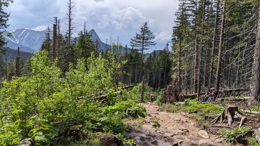
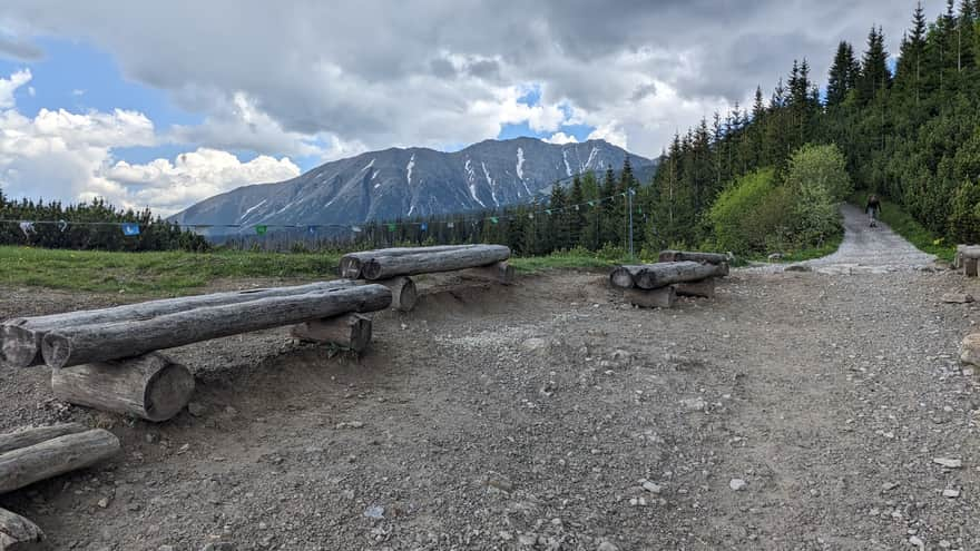
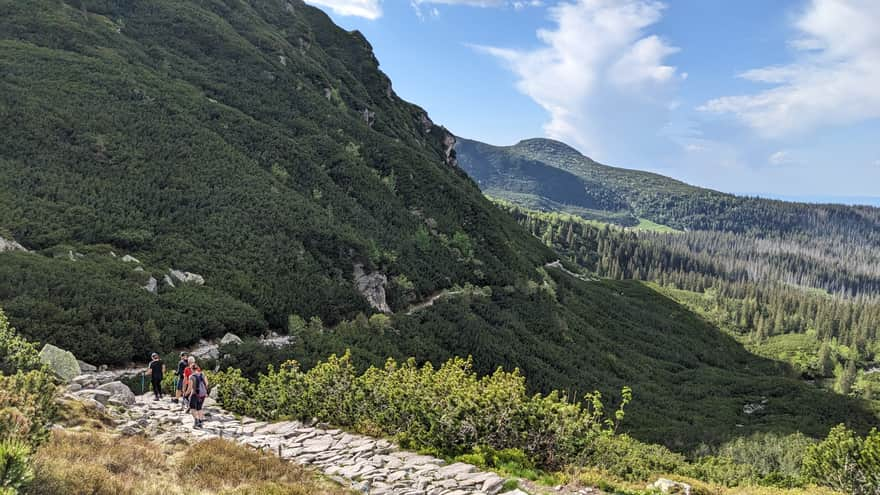
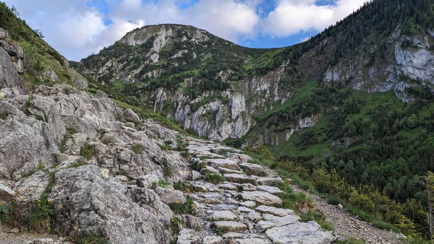
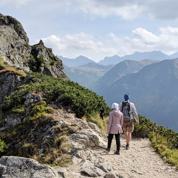
We choose to go up the blue trail through Skupniowy Upłaz, a long ridge above the Jaworzynka Valley, and come down the yellow trail. The rocky path through the forest gradually climbs up.
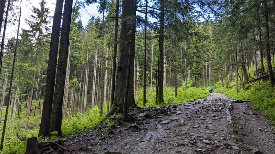
Soon the trail becomes open and very scenic - initially revealing views of the peaks towards Hala Gąsienicowa.
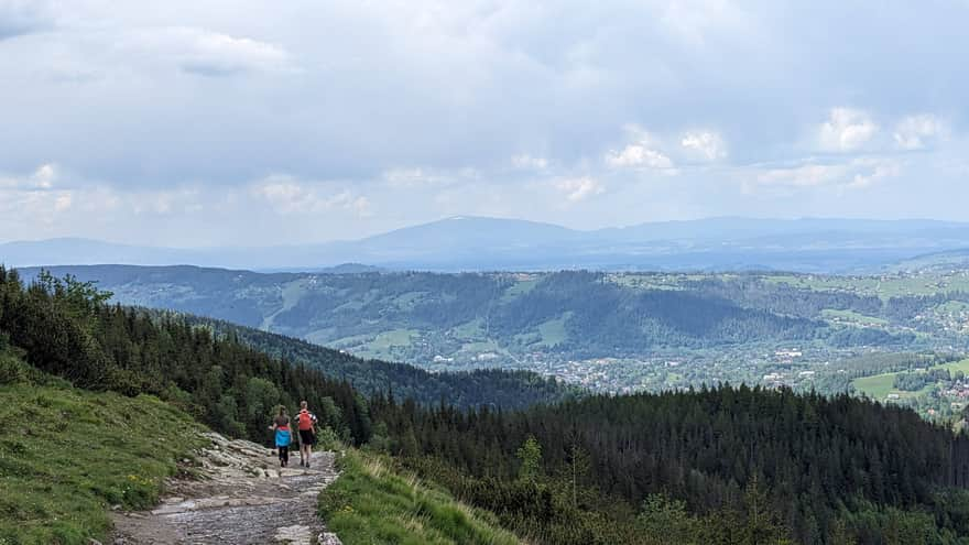
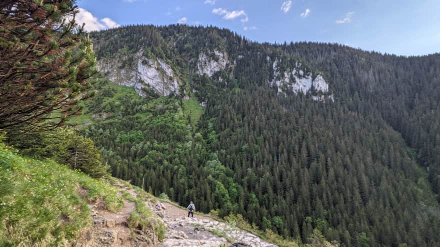
After about an hour of walking, when we enter the dwarf pine zone, we can see the ridge of Giewont, Kasprowy Wierch, Nosal, Podhale, and the Babia Góra massif.
Przełęcz between Kopami (1499 meters)
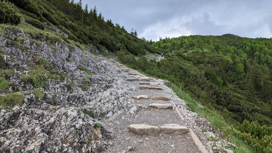
We reach the Przełęcz between Kopami - a pass between Wielka Kopa Królowa and Mała Kopa Królowa. The hardest part of the trail is behind us. Now we have about 20 minutes of a much gentler walk to the shelter.
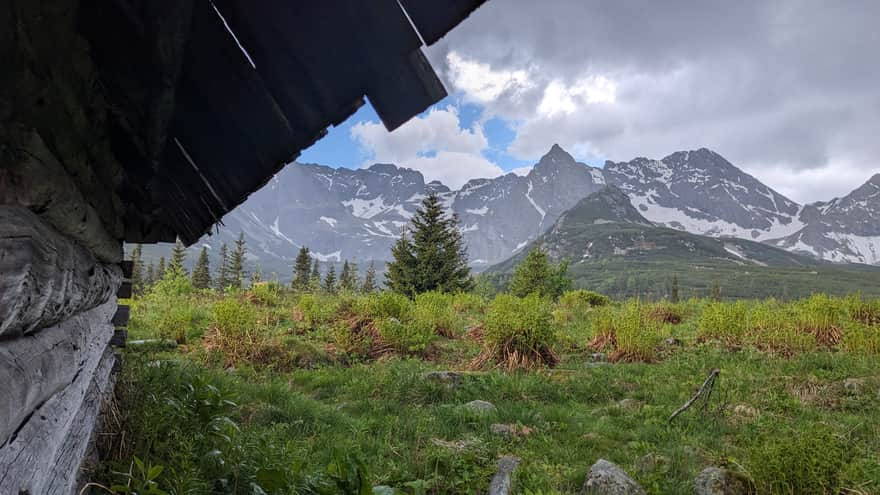
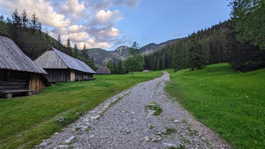
Hala Gąsienicowa (1564 meters)
This is a large, high-altitude meadow surrounding the Murowaniec shelter. In the past, shepherds lived here in the spring and summer, grazing their sheep - hence the remains of old shepherd huts. Above their wooden roofs, the peaks of the Polish High Tatras majestically rise. The history of Hala Gąsienicowa, like many places in the Tatras, has a mining past. Hematite was mined here, but it turned out to be unprofitable.
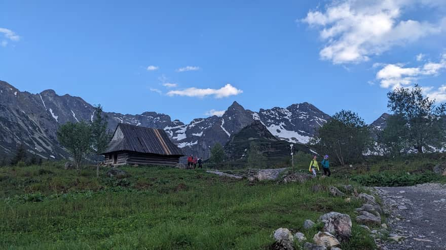
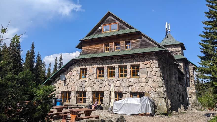
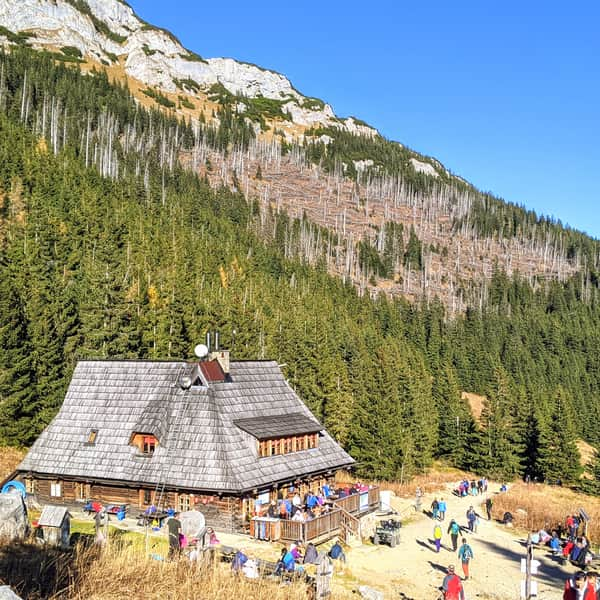
Murowaniec Shelter on Hala Gąsienicowa
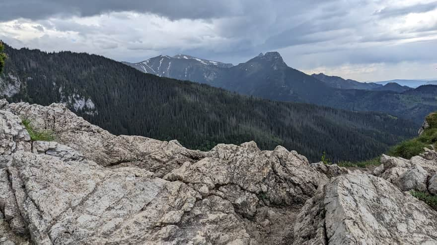
The PTTK Murowaniec shelter is one of the most visited places in the Tatras, with 116 beds. From the shelter, there is a wonderful panorama of the Tatras with views of Kościelec and Świnica. The shelter is also a base for trips to Orla Perć, considered the most difficult trail in the Tatras.
An interesting fact about the shelter is the placement of swastika symbols in the stair railing, called 'unexpected crosses' by the highlanders. Although it is hard to imagine this symbol in Polish culture due to tragic events, it was known in Poland since Slavic times - often placed on tools, equipment, or ceiling beams in houses to ward off evil and bring good fortune.
From the shelter to Czarny Staw Gąsienicowy, it is about a 30-minute climb.
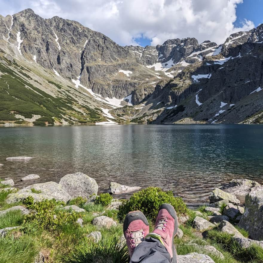
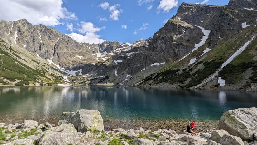
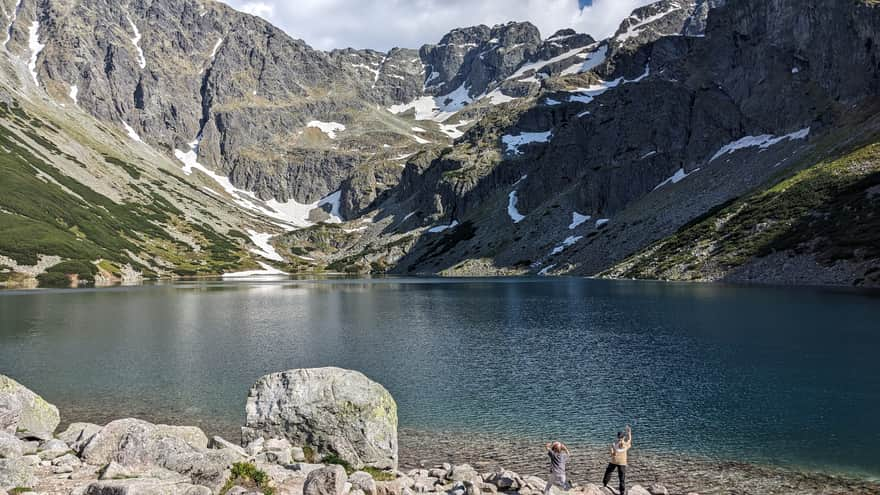
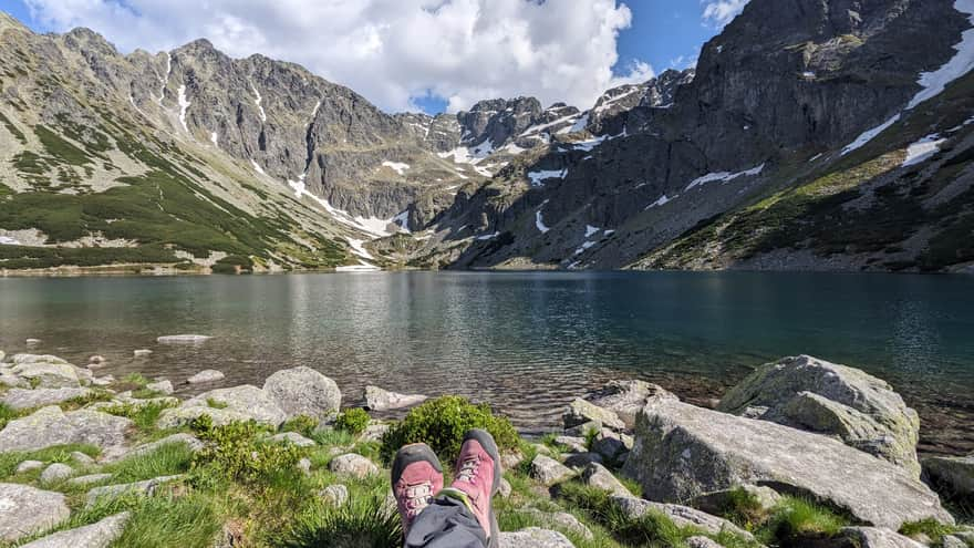
Czarny Staw Gąsienicowy (1624 meters)
Its name comes from the dark, almost black water, which is due to its depth, the algae living there, and the shadow cast on the water by the surrounding steep mountain slopes. The name Gąsienicowy comes from the Gąsienica family, the former owners of these lands. Various species of fish live in the lake, and its shores are home to many bird species, including the rare golden eagle.
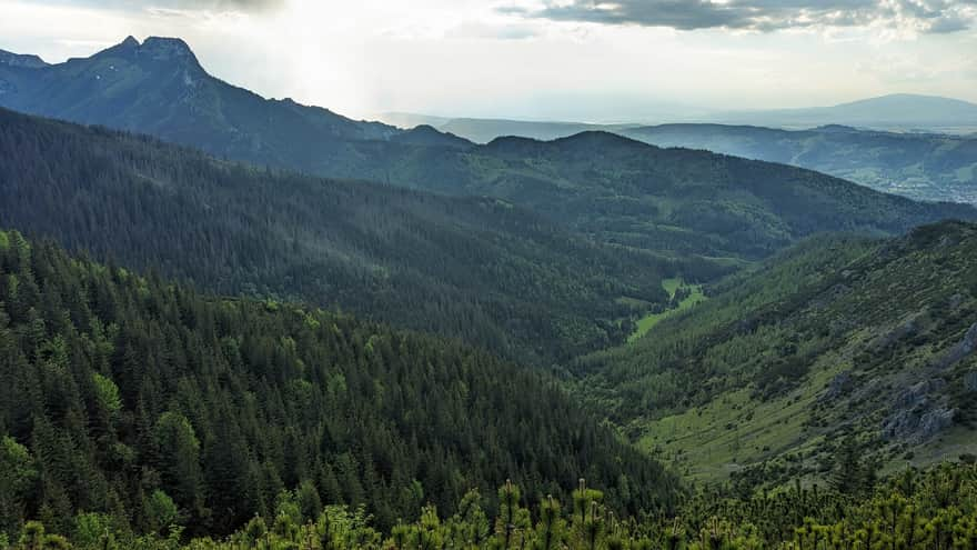
Return via the yellow trail - Jaworzynka Valley
The valley's name probably comes from the sycamore trees that used to grow here - now the valley is covered with a spruce forest due to human activity. In the past, mining operations were conducted in the valley - iron ore was extracted here. The remains of these operations are still visible today. The valley was also one of the larger centers of shepherding in the Tatras.
See also:
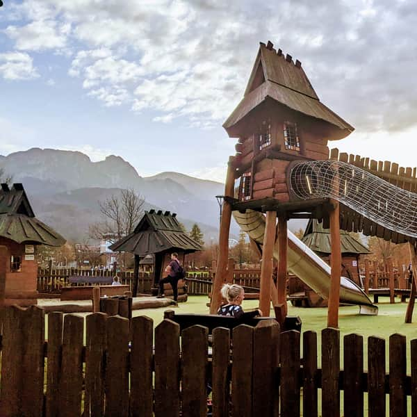
Zakopane and the Tatras - easy routes and trails for younger children
Easy trails in the Tatra Mountains for children. Attractive, scenic, easy trails that still provide a sense of satisfaction from hiking in the mountains. ...
TOP 5 Trails in the Tatras for Intermediate Hikers
Trails in the Tatras for intermediate tourists ...
Shelters in the Tatras and the trails leading to them
Discover Tatra shelters - how to reach them? ...


Publish Date: 2024-06-12
More in the Region Zakopane (Zakopane)
Total Length 152 km