Black Trail to Maciejowa from Rabka Słone
Nearby: Nowy Targbeach_access Route in the shade
restaurant Restaurant or bar nearby
directions_car Access by car
directions_bus Can be reached by bus
wc Toilet along the route
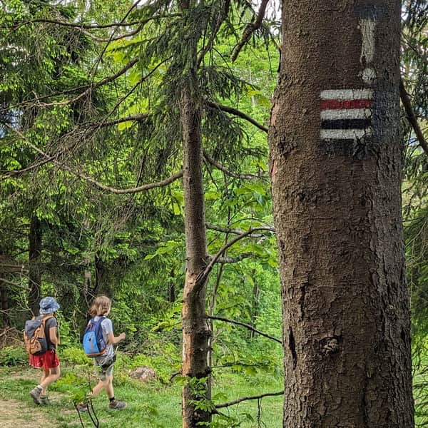
The Black Trail to Maciejowa from Rabka is a short and not too difficult route. Compared to the popular Red Trail, it is much quieter and a bit shorter. The path leads along the edge of the forest, so there is more shade but fewer views.
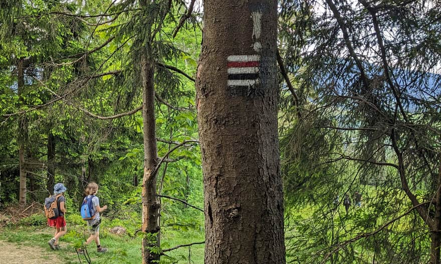
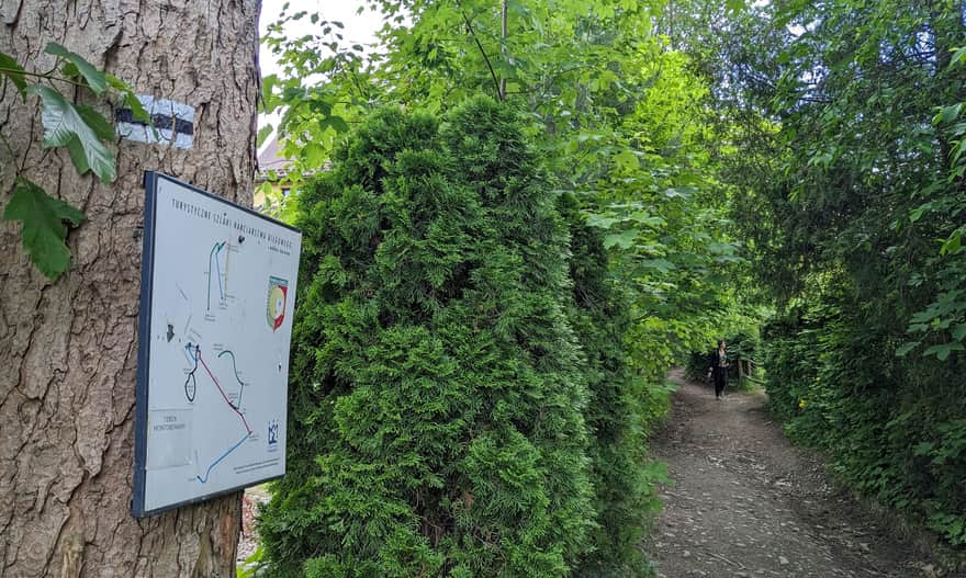
Start of the Black Trail from Rabka to Maciejowa
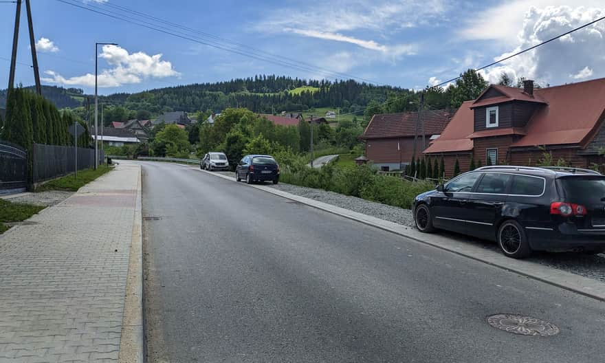
The Black Trail to Maciejowa starts from the Rabka-Zdrój "Rabka Słone" neighborhood, located in the valley of the Słonka stream on Poniatowskiego Street. You can reach here on foot from the town center (near the Spa House) via the Blue Trail (about 2 km up the Słonka stream on Poniatowskiego Street). There are bus stops on this street, so there might be buses running here in the season (it is best to get off at the school stop or even better at the Rabka Słone Tama stop).
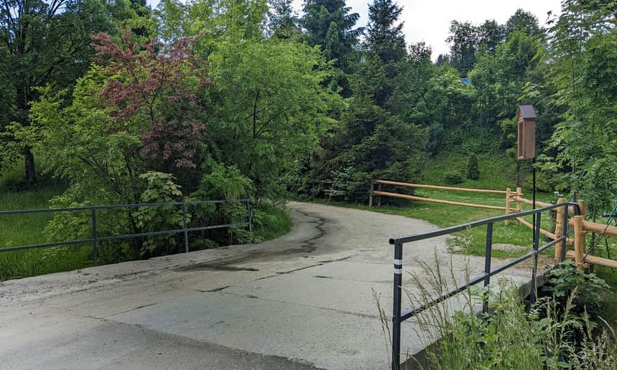
You can drive to the school area (there are bays by the street to leave your car) or even to the area near the water steps on the Słonka stream (unfortunately, there is no designated parking here).
Initially, we walk on the sidewalk along a not very busy street. We turn only before the water steps on the Słonka stream. We cross the bridge over the stream and climb a fairly steep village road up between the buildings of the neighborhood.
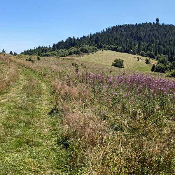
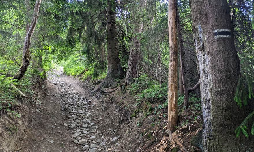
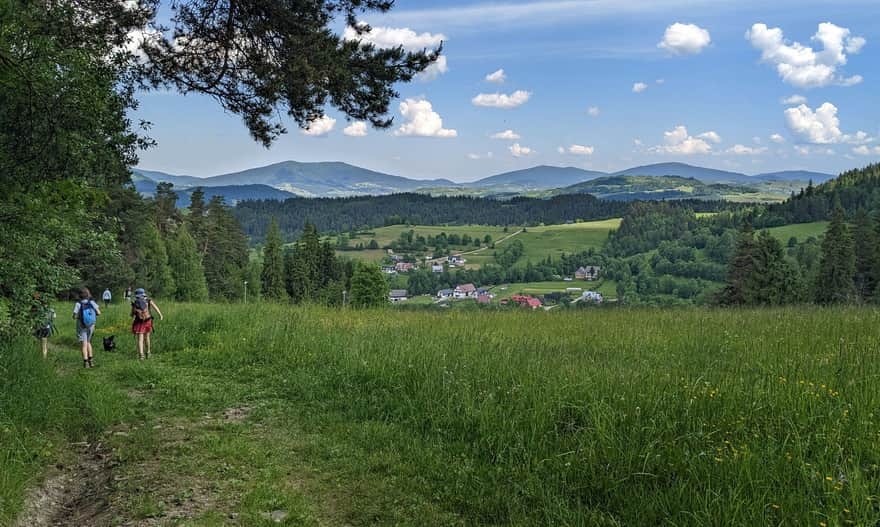
After entering the fields, the trail leads through a fairly deep shaded ravine along the inactive ski slope.
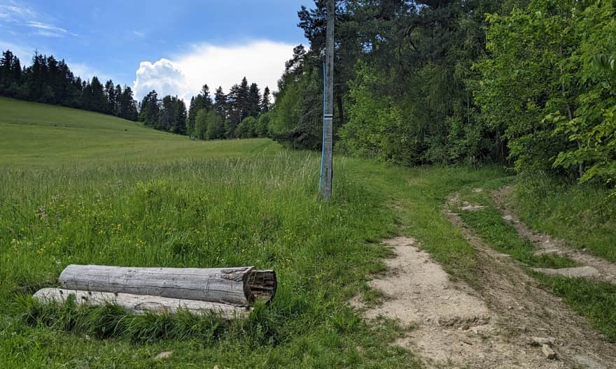
If you prefer to walk in the sun, you can also choose the path along the edge of the meadow. There will be no shade there, but you will have views of the picturesque "green islands" of the Beskid Wyspowy.
Joining the Red Trail
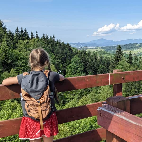
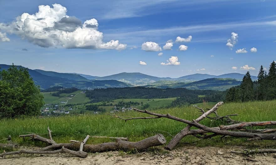
After about half an hour of climbing, we reach the ridge of Maciejowa. Here we meet the red signs from the center of Rabka-Zdrój. It's worth stopping here to enjoy the view to the north (Beskid Wyspowy from Luboń Wielki to Ćwilin, and even in the background Lubomir in the Beskid Makowski). There are also tables and benches at the upper station of the former ski lift.
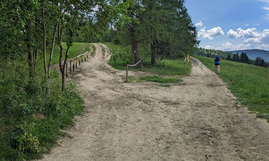
From the upper station of the inactive ski lift, a comfortable ridge road leads to the shelter on Maciejowa. We will reach the destination in about 20 minutes.
At this point, we turn left and after about 5 minutes we reach the shelter:
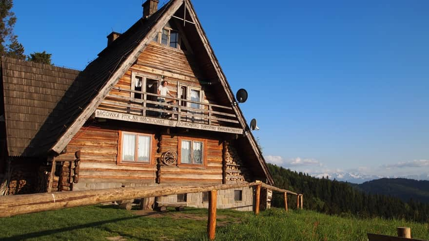
Shelter: Bacówka PTTK on Maciejowa
The shelter (actually "bacówka") on Maciejowa (exactly on the Przysłop Glade) is a charming and very scenic place. You can rest both in the shelter (simple dishes, drinks, sweets, souvenirs) and on the scenic meadows around.
And back to Rabka
You can return the same way (the descent from the shelter to Rabka Słone will take about 30-45 minutes).
Loop from Rabka Słone to Maciejowa and back
You can also make a "loop" and choose the popular (and very scenic!) Red Trail for a change. The red signs will lead you through the meadows to the center of Rabka-Zdrój in about 1.5 hours. If you want to return to the start of the Black Trail in Rabka Słone, it is worth turning right from the red trail earlier, onto Gorczańska Street, which will lead you straight to the Słonka Valley.
The loop Rabka Słone > Black Trail > Maciejowa > Red Trail > Gorczańska Street > Rabka Słone is a total of about 8 km and should take about 2.5 hours without stops.

More in the Region Gorce (Gorce)