Black Trail Rabka-Zdrój - Rabka Zaryte through Grzebień
Nearby: Nowy Targ| Distance | 5.8km |
|---|---|
| Time | 1h 57min |
| Ascents | 200m |
| Descents | 253m |
wb_sunny Route in the sun
directions_car Access by car
directions_bus Can be reached by bus
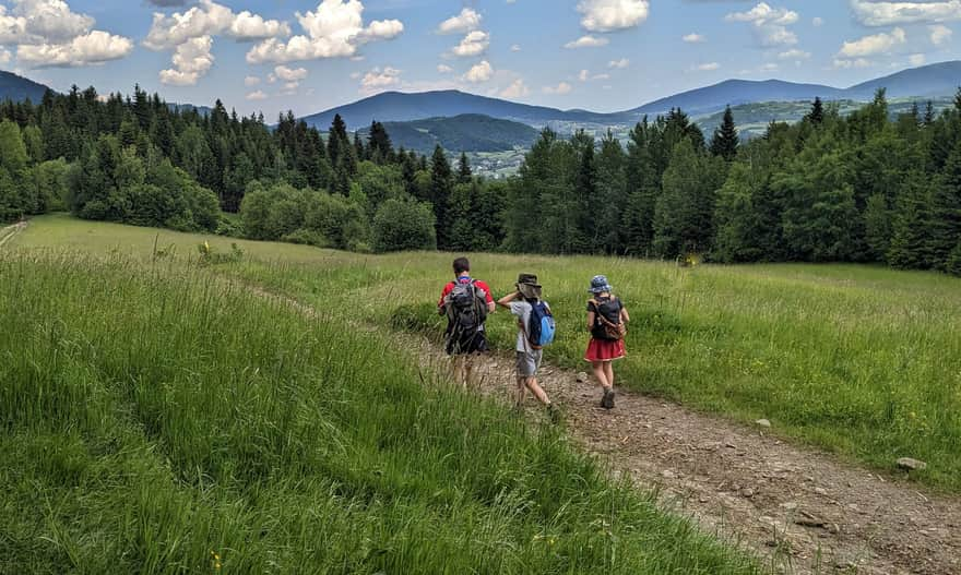
The Black Trail connecting Rabka-Zdrój with Rabka Zaryte goes through a small but scenic peak called Grzebień, 679 meters above sea level. This is a suggestion for a short and easy walk, which can be combined into a loop through the tower at Polczakówka.
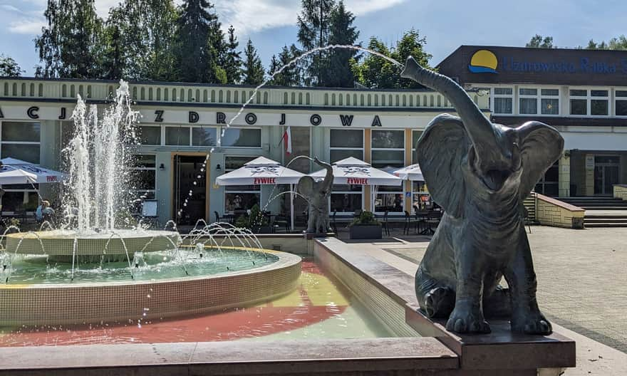
Start of the Black Trail in Rabka-Zdrój
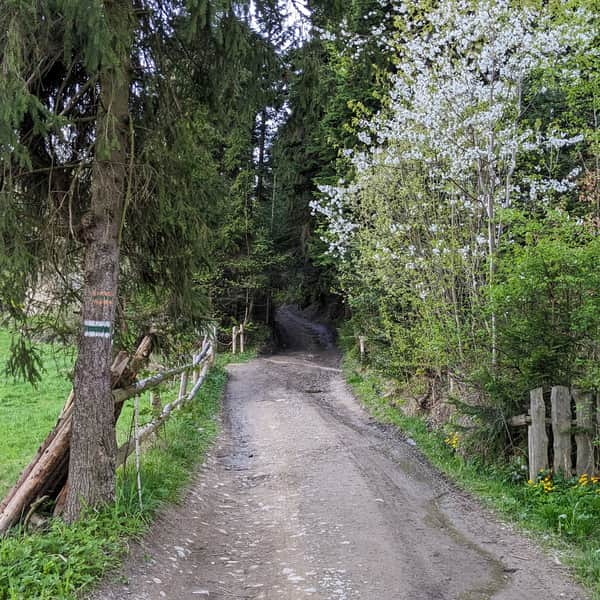
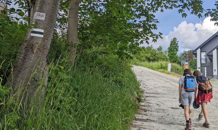
The Black Trail starts in the center of Rabka-Zdrój right next to the Spa Park. It then passes by the Elephant Fountain and climbs up Poniatowskiego Street to the area near the school in Rabka Słone. This is about a 1.5 km rather boring walk on the sidewalk, so if possible, it's worth taking a bus to Primary School No. 3 (then you need to walk back a few meters from the bus stop to the trail turn).
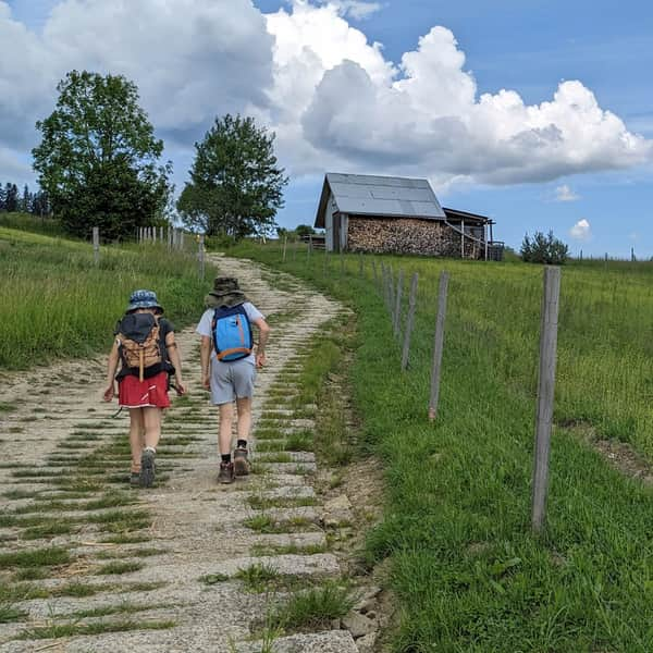
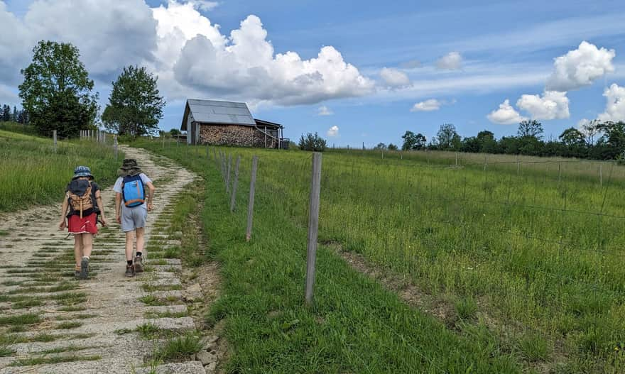
The Black Trail climbs up the ridge between buildings on a wide, paved road.
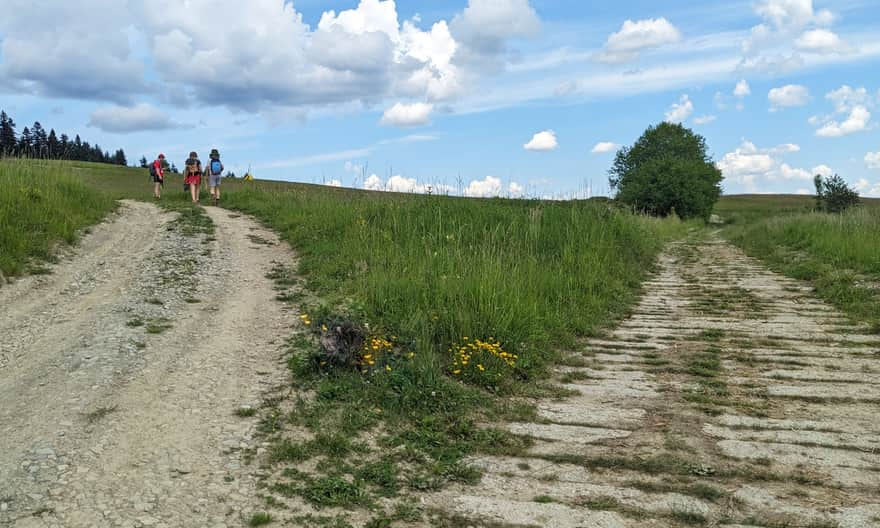
Above the buildings, scenic meadows begin (partially built-up as well), and the road changes from paved with concrete to a dirt road, but still comfortable.
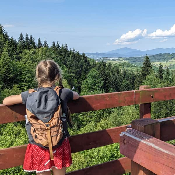
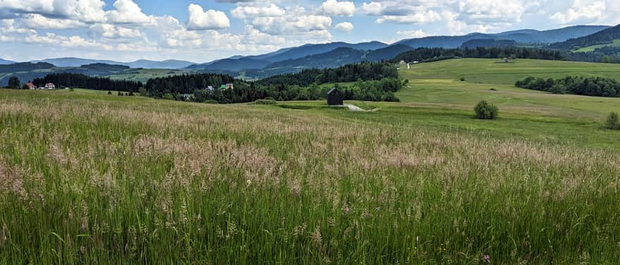
Viewpoint near the Grzebień Peak, 679 meters above sea level
Just before the forest boundary, it's worth stopping and looking around: to the south, you can see the entire Gorce Mountains "like on a hand", to the right of them the Tatra Mountains, and to the left, to the east: the Beskid Wyspowy.
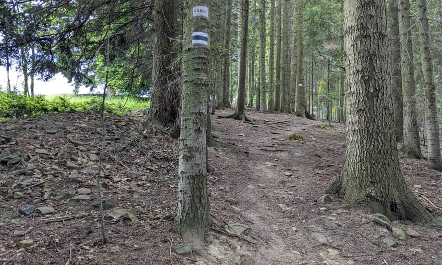
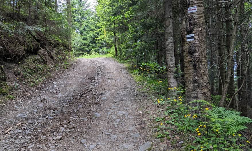
After entering the forest, we descend quite steeply to the north.
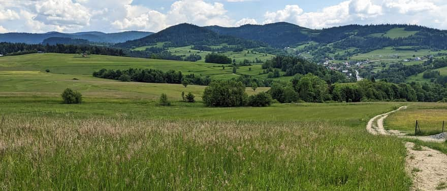
Along the way, there will be another scenic clearing: this time with a view to the northeast, i.e., the Beskid Wyspowy.
The further descent to Rabka Zaryte is only through the forest, but it's also beautiful!
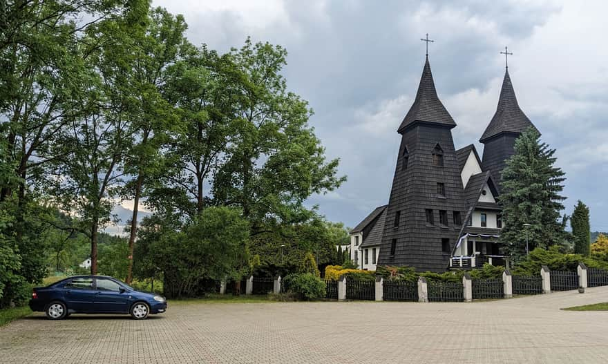
In Rabka Zaryte, we descend to the Raba Valley. The Black Trail turns right here, towards Olszówka, then Potaczkowa, Adamczykowa, and ends in Mszana Dolna. If you want to reach the center of Rabka Zaryte, you need to go straight across the bridge.
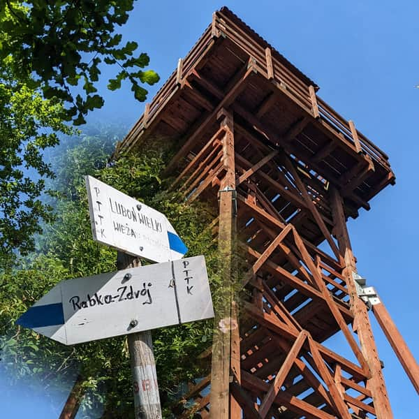
At the distinctive church with two towers, you will find blue trail signs, which you can follow back to Rabka-Zdrój through Królewska Góra and Polczakówka (with a lookout tower).
Loop: Rabka-Zdrój - Grzebień - Rabka Zaryte - tower at Polczakówka - Rabka-Zdrój
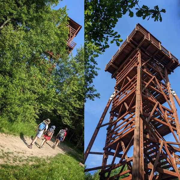
After walking the Black Trail from Rabka-Zdrój through Grzebień to Rabka-Zaryte, a good idea is to return via a different route, i.e., the blue trail through Polczakówka. First, you reach the tower:
Medium
To the tower on Polaczkówka from Rabka Zaryte

..and then descend to Rabka-Zdrój still following the blue signs:
Easy
From Rabka-Zdrój to the Lookout Tower on Polczakówka

This loop is a total of less than 9 km, with a 300-meter elevation difference, which can be completed in less than 3 hours (not counting stops).


Publish Date:
More in the Region Gorce (Gorce)