
TOP 5 Trails in the Tatras for Intermediate Hikers
Have you already completed your first mountain hikes and want to try more ambitious trails? Below is our list of scenic, more physically demanding, yet technically easy hikes in the Polish Tatra Mountains!
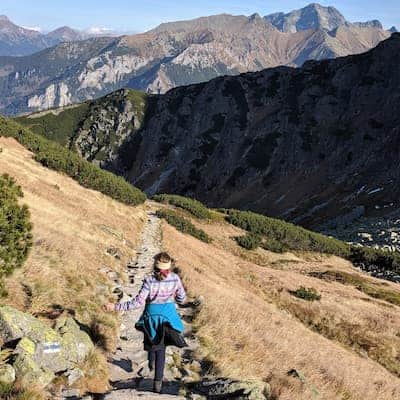
1. From the Valley of Five Lakes to Morskie Oko
This is another scenic loop that starts in the Kościeliska Valley. The trail is open, and the views are breathtaking! Most importantly, it is technically easy and accessible to any amateur with enough fitness to handle the elevation change. Although the trail is safe, its openness may make people with a fear of heights feel uneasy.
Difficult
From the Five Lakes Valley to Morskie Oko


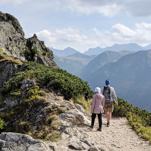
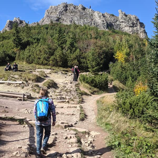
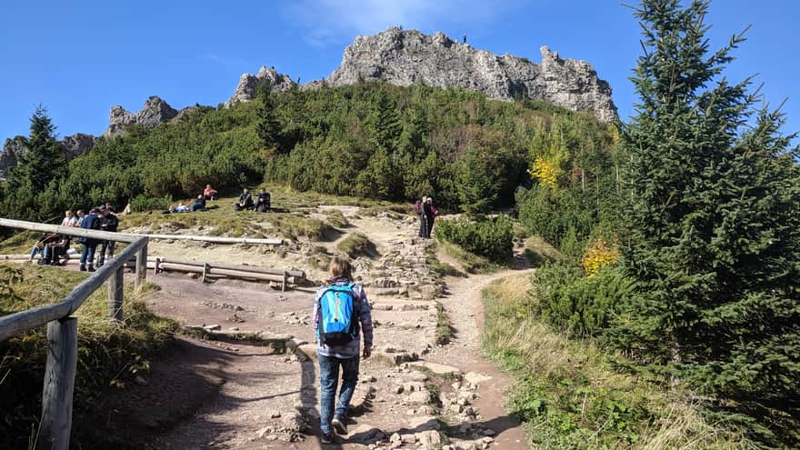
3. To Kasprowy Wierch via Hala Kondratowa
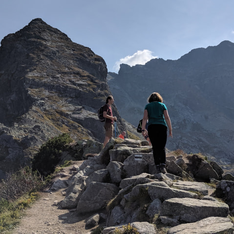
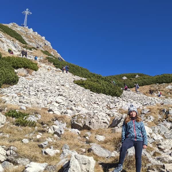
Karb is a shallow pass at an elevation of 1853 meters between Mały Kościelec and Kościelec, formed in an area of ancient tectonic shifts. From here, you can see Świnica and Kasprowy Wierch. The approach to the pass is steep and requires good fitness, but the trail itself, in good weather, is not technically difficult and has no chains. Due to the open terrain, people with a fear of heights may feel uneasy here.
Medium
Chuda Przełączka - Loop from Kościeliska Valley


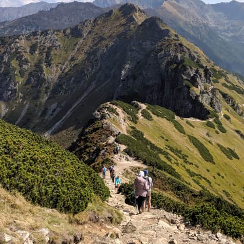
5. Sarnia Skała
Nie jest to najkrótszy szlak na Kasprowy Wierch, ale na pewno jeden z piękniejszych, prowadzący granią gór Suche Czuby. Szlak przy dobrej pogodzie nie jest trudny technicznie, nie ma tu łańcuchów. Polecamy go dla starszych dzieci, które już są oswojone z górami. Grań Suche Czuby to trzy turnie pomiędzy Suchym Wierchem Kondrackim, a Goryczkową Czubą. Biegnie tędy czerwony szlak oraz granica między Polską, a Słowacją - mamy więc stąd widok na słowacką część Tatr. Ścieżka na grani momentami jest wąska, są tu dwa skalne podejścia, których się obawialiśmy, ale ostatecznie wycieczka granią nawet dla takich górskich żółtodziobów, jak my - nie sprawiła większych trudności technicznych.
Difficult
To Kasprowy Wierch through Dolina Kondratowa and Suchy Wierch


4. Czarny Staw Gąsienicowy i przełęcz Karb
Karb to położona na wysokości 1853 m płytka przełęcz pomiędzy Małym Kościelcem a Kościelcem, powstała w strefie dawnych przesunięć tektonicznych. Widać stąd Świnicę i Kasprowy Wierch. Podejście na przełęcz jest strome i wymaga już dość dobrej kondycji - jednak sama trasa przy dobrej pogodzie nie jest trudna technicznie i jest bez łańcuchów. Z uwagi na otwartość terenu osoby z lekiem wysokości czuły się tu nieswojo.
Difficult
Karb Pass from the Murowaniec shelter


5. Sarnia Skała
Sarnia Skała to jedno z łatwiejszych wejść na szczyt w Tatrach! W dodatku możemy do niej dojść z samego Zakopanego, bez konieczności dojazdu busem, czy samochodem. Możemy do niej dojść od strony Doliny Strążyskiej (czerwony szlak) lub Doliny Białego Potoku (szlak żółty) - najlepiej wejść jedną doliną, a zejść drugą.
Medium
From Zakopane to Sarnia Skala Peak

Zobacz także:
Zakopane and the Tatras - easy routes and trails for younger children
Easy trails in the Tatra Mountains for children. Attractive, scenic, easy trails that still provide a sense of satisfaction from hiking in the mountains. ...
Easy
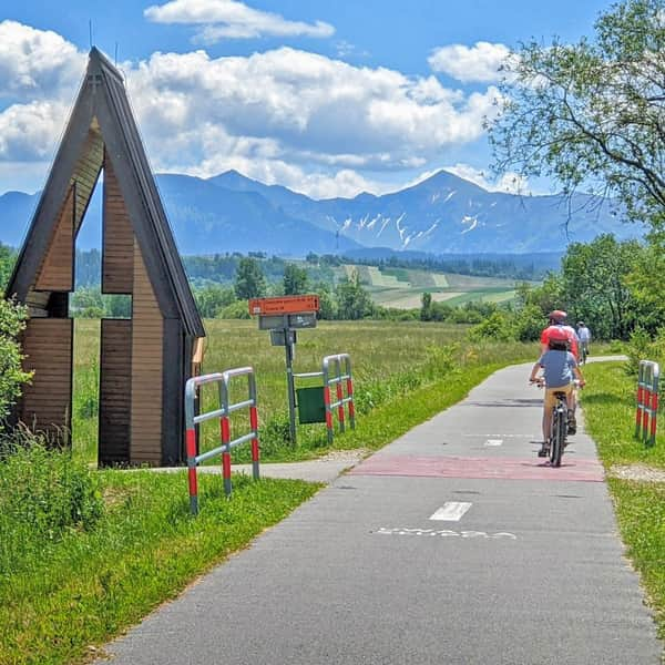
Cycling Trail around the Tatras - Easy and Scenic Route

Difficult
The Easiest Trail to Giewont - Blue Trail from Kuźnice through Hala Kondratowa

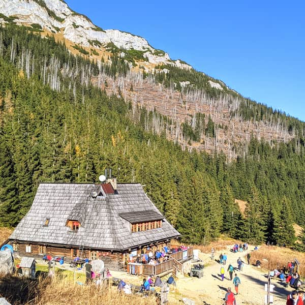
Shelters in the Tatras and the trails leading to them
Discover Tatra shelters - how to reach them? ...

Publish Date: