
Maciejowa: All Trails, Views, and Attractions

Maciejowa (836 meters above sea level) is one of the most popular and easily accessible peaks in the Gorce Mountains. What should you know about this place? How to get there, which trail to choose, and what attractions and views await you at the top?

Attractions - Why Visit Maciejowa?
Why is Maciejowa so popular among tourists of all ages? The main reasons are its easy accessibility (the shortest trails are only 2-3 km long), beautiful panoramas and scenic meadows, and the opportunity to rest in a quiet and atmospheric shelter.
Views from Maciejowa
What can you see from the shelter on Maciejowa? The most impressive view is the sharp peaks of the Tatra Mountains. You can admire them from the meadow or from the shelter's window.


To the north, you can see Babia Góra and Polica mountains:

...and to the north, you can see Beskid Makowski and Beskid Wyspowy (especially the long ridge of Lubań Wielki):

How to Get to Maciejowa?
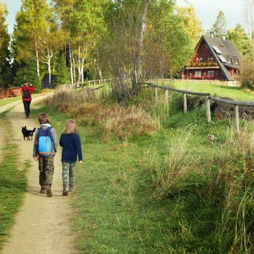
Only two trails pass by the meadow with the shelter: the red and black trails (the black trail ends here). However, there are many more routes to reach Maciejowa!

The Easiest and Shortest Trail to Maciejowa
The shortest and easiest (with the least elevation gain) route to the shelter on Maciejowa is the green trail from Jasionowa. It is mostly a comfortable, shaded forest road. The views are at the beginning and when the green trail joins the red trail at Polana Przysłop.

Easy
Easiest Trail to Maciejowa


The Most Popular Trail to Maciejowa
Most hikers choose the scenic red trail from Rabka-Zdrój. You can start this walk either from the town center or from the edge of the meadows (parking areas). The trail follows a gravel road through meadows and then enters steep forest paths.

Medium
Red Trail from Rabka to Maciejowa


Black Trail and Loop to Maciejowa from Rabka-Zdrój
An alternative to the red trail from Rabka-Zdrój is the black trail starting from the Rabka Słone neighborhood. It is shorter, steeper, and more shaded. You can also combine it with the red trail to make a loop.

Medium
Black Trail to Maciejowa from Rabka Słone


Loop to Maciejowa via Stare Wierchy from Poręba
Another loop to Maciejowa starts from Poręba. On this route, you first visit Stare Wierchy and then follow a forested ridge to Maciejowa.
Medium
Loop from Poręba: Stare Wierchy and Maciejowa


From Obidowa via Stare Wierchy to Maciejowa
You can also reach the ridge connecting Stare Wierchy and Maciejowa from the south, i.e., from Obidowa. The route Obidowa - green trail to Stare Wierchy - red trail to Maciejowa is a total of 7 km, about 300 meters of elevation gain, which takes about 2.5 hours one way.

Easy
Stare Wierchy from Obidowa - winter

Other Trails to Maciejowa
How else can you reach Maciejowa? Here are a few other ideas:
- Green trail from the village of Ponice, which is less than 3 km and 270 meters of elevation gain, taking about 1:15 hours one way.
- Black trail from Rabka Zaryte via Grzebień: first follow the black signs to Poniatowskiego Street in the Rabka Słone neighborhood. Then go up Słonki and join the black trail Rabka Słone - Maciejowa.
- Blue trail from Rabka Zaryte, via the tower on Polaczkówka. Follow the blue trail through Królewska Góra to Rabka-Zdrój and then continue on the blue signs to the Rabka Słone neighborhood, and from there take the black trail to Maciejowa (a total of about 3 hours, nearly 9 km, 500 meters of elevation gain one way). You can also go through the center of Rabka-Zdrój and join the red trail (described above). This will be a similar distance: 9 km, a bit more elevation gain: 520 meters, and also about 3 hours.
PTTK Shelter on Maciejowa - Facts and Curiosities
What else is worth knowing about Maciejowa and the shelter located below its peak? Here are some facts and curiosities about this unique place.

Shelter or Bacówka on Maciejowa?
What is the difference between a shelter and a bacówka? A bacówka is a type of shelter, a more intimate version. According to the creator of the "bacówka" network, Edward Moskała, these types of facilities were meant to serve individual tourists rather than groups. They were supposed to have a cozy atmosphere, overseen by a host called a "baca."
An element of the decor in each bacówka included hand-painted maps of the area by Edward Moskała:

Does the Bacówka on Maciejowa Have a Twin Sister?
Yes! And not just one! The bacówkas designed by Edward Moskała were built (with a few exceptions) according to a single project by Stanisław Karpiel. Out of the 14 bacówkas, called "moskałówkas," the twins of Maciejowa include the bacówkas on Rycerzowa, Krawcowy Wierch, in Bartne, and under Mała Rawka.

What Makes the Bacówka on Maciejowa Different from Other "Moskałówkas"?
Although the bacówkas were initially built according to a single project, they have changed slightly over the years due to their caretakers. The uniqueness of the PTTK Shelter on Maciejowa includes its careful, artistic decor, created by graduates of the Antoni Kenar High School of Fine Arts in Zakopane.

Where is the Bacówka on Maciejowa Located?
Do you reach the summit of Maciejowa when you arrive at the bacówka? Not yet! The summit of Maciejowa, 836 meters above sea level, is located in the forest to the west of the meadow (unfortunately, it is not marked). The place where the bacówka is located is Polana Przysłop.
