

Lachów Groń (1045 m above sea level), also known as Buciorysz, is a scenic peak in the Żywiecki Beskids, in the Jałowiecki Range. Nestled at the foot of Babia Góra, it remains relatively unpopular, despite offering its visitors what's most important: expansive panoramas, peace, and quiet.

Views from the summit of Lachów Groń
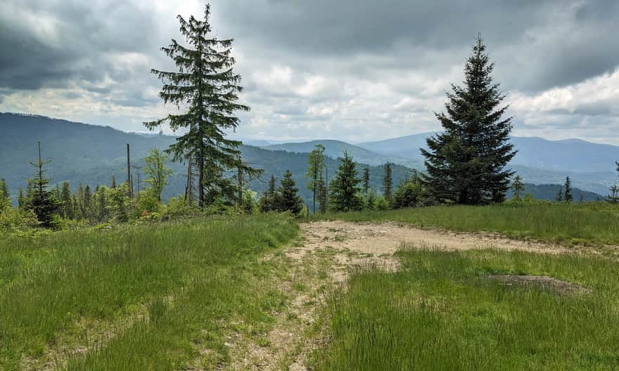
The summit of Lachów Groń, thanks to the extensive Janoszkowa Meadow, is famous for its expansive panoramas on all 4 sides of the world! From here, we can see both the majestic neighbour, the Queen of the Beskids: Babia Góra, and the second highest peak of the Żywiecki Beskids: Pilsko. From the east, we will see the green dome of Jałowiec.
Trails to Lachów Groń
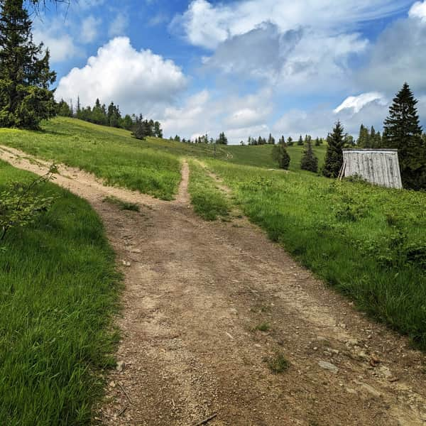
The summit of Lachów Groń is crossed by the yellow trail from Koszarawa towards Czerniawa Sucha and Jałowiec, all the way to the Przysłop Pass above Zawoja. We can get here from Koszarawa, Zawoja, or the Klekociny Pass.
The shortest trail to Lachów Groń
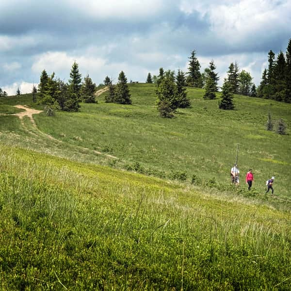
The shortest route to Lachów Groń leads from the center of Koszarawa: the yellow trail will take us to the summit in just 1.5 hours. We have 3 km to walk, and less than 500 m difference in altitude.

The easiest route to Lachów Groń
The longer (4.5 km), but easier (only 270 m of elevation gain) route to the summit leads from the Klekociny Pass: we climb the green trail to Czerniawa Sucha and reach the goal with yellow signs.
Recommended trail to Lachów Groń from Koszarawa
The hike from Koszarawa to Lachów Groń can also be started from Koszarawa Cicha (bus stop Koszarawa Jałowiec):
Medium
Lachów Groń from Koszarawa
To Lachów Groń from Zawoja
A slightly longer route to Lachów Groń leads from Zawoja. You can choose the route through the Klekociny Pass: we reach the pass by bike from Zawoja Wełczy, then by the green trail to Czerniawa Sucha and further by yellow signs to the summit (.... km, .... elevation gain, about .... hours one way), or the route through Jałowiec:
Medium
From Zawoja to Jałowiec, Czerniawa Sucha and Lachów Groń
Both of these routes can be combined into a beautiful scenic loop!
Lachów Groń - trivia
- the name of the peak comes from an old term for Poles (Lachy) and the Wallachian word groń, meaning mountain, hill (rum. grui is peak)
- On Lachów Groń you will find two wooden buildings: one is an abandoned, but open wooden hut (on the trail from Koszarawa Center). The second: a shelter on the eastern part of the meadow. Cultural sheep grazing was recently conducted near the shelter, but it is currently discontinued.
- Janoszkowa Meadow is full of blueberry bushes. In season, be sure to come here "for berries"!
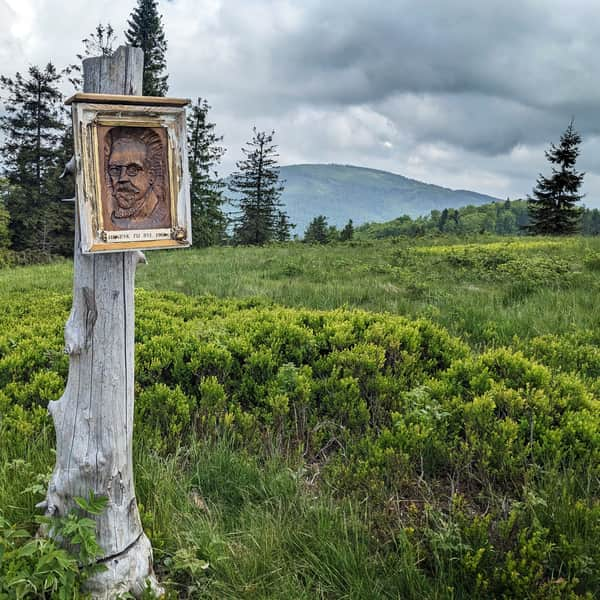
- Henryk Sienkiewicz on Lachów Groń? There is a wooden bas-relief on the summit with the inscription "Henryk was here in 1902", so it's probably true. However, we don't know the circumstances of the visit of the Nobel laureate...


Publish Date: 2023-06-30